No matter the (construction) project, building, or object — you can visualize it with Assettwin. Create a photorealistic virtual copy of homes, new construction projects, monuments, bridges, or other elements of public space in no time.
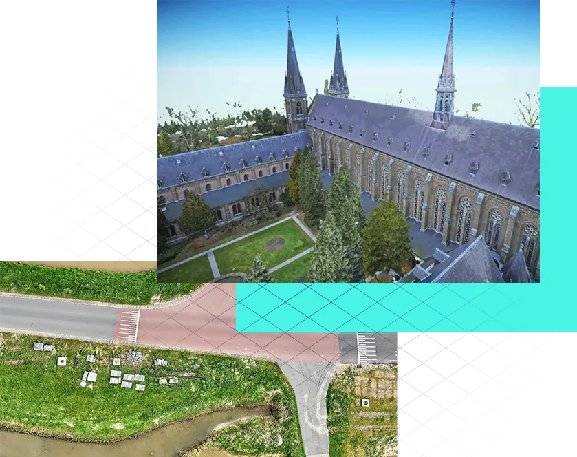
Imagery via Droneview
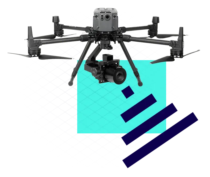
Need help collecting data? Our partner Droneview can capture your project with millimeter precision. Using a drone, they can quickly and easily gather geographic data. Together, we have all the expertise and facilities needed for highly specialized technical work.
* Hiring your own drone partner is always possible.
Geomapping and
3D-scanning
With geomapping and 3D scanning, we are able to visualize the ‘invisible.’ Think of highly accurate measurements of homes for renovation purposes and volume determination of soil deposits. This provides valuable insights at every phase of your project.